Contribution of optical remote sensing of pastoral wells to the mapping of groundwater in the Sahel
DOI:
https://doi.org/10.52638/rfpt.2021.602Keywords:
Pastoral wells – remote sensing- water table – unconfined aquifer – Sahel – Nigeria - BornouAbstract
In Sahara and Sahel, groundwater is a limited and precious resource. The daily life and the work of the breeders are organized according to the location of wells and the depth of the water table. To manage the sustainable development of these regions, it is therefore essential to build accurate piezometric maps, even in the most difficult to access areas. We have developed an innovative method for producing such maps based on high-resolution satellite imagery, in order to compensate for the information gaps of conventional hydrogeological prospecting. The artifact used in this method is the image of pastoral wells.
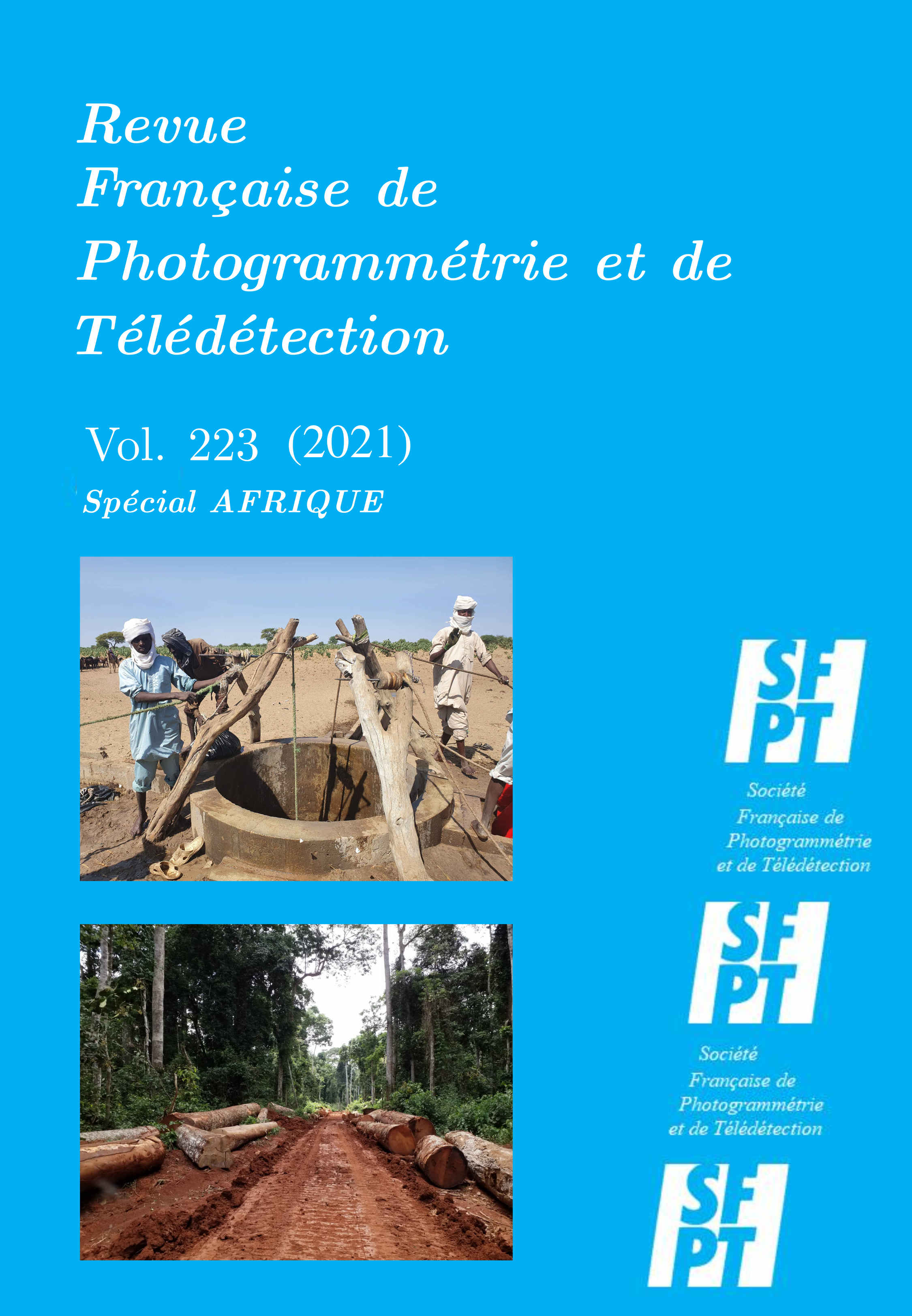
Breeders water their livestock using deep wells. To draw water, they harness dunkeys or camels that pull water with a rope whose length is an accurate measure of the depth of the water table. During the operation, animals and ropes leave deep traces on the ground that can be observed and measured on satellite images, provided that their resolution is sufficient. We have developed a technique for interpreting these images that allows (a) to locate pastoral wells (on Landsat or SPOT images), (b) to isolate the traces left by the animals drawing water (on SPOT or WorldView images) and (c) to estimate the water depth from these traces (on WorldView images).
The method was carefully calibrated using correlation with direct measurements of water depth in new boreholes. After calibration, we were able to use this remote sensing technique to draw up in a few weeks the piezometric map of a large aquifer depression in Nigeria (Bornou - 20,000 km2). This area is difficult to access by other means because of the insecurity that has prevailed in these regions of the Sahel for the past 5 years. We then tested the same method on other aquifers in other Sahelian countries (Mauritania, Senegal, Mali, Burkina, Niger, Chad and Sudan). The method also proved to be very effective and we were able to map 1 million km2 of aquifer in less than a year.
Downloads
Downloads
Published
How to Cite
Issue
Section
License
Copyright (c) 2021 Bernard Collignon

This work is licensed under a Creative Commons Attribution 4.0 International License.


